Connections. Our desire to find and feel the links with nature, the elements, and others. A sense of wonder for paths that lead to the next crossroad. An excitement to travel in the steps of others before us…or to take the road less traveled.
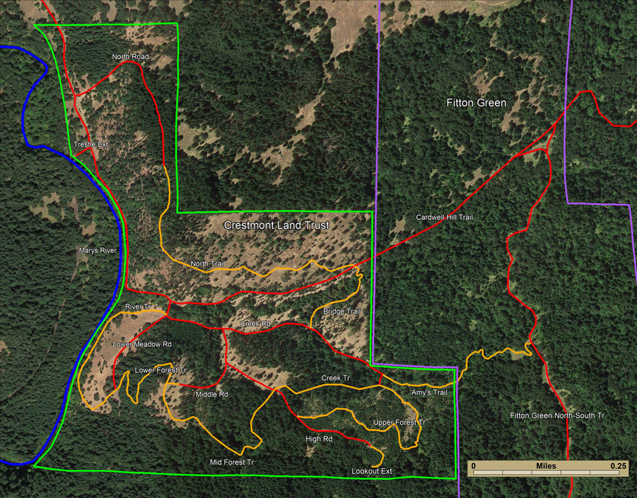
| TRAIL NAME | LENGTH (miles) | DESCRIPTION |
|---|---|---|
| Amy’s Tr. | 0.33 | Moderate trail, connecting Crestmont Land Trust and Fitton Green Natural Area; meandering through multiple habitat areas, including mature forest, a marshy area, and meadows; includes a few steep, but mostly moderate and gradual, elevation changes |
| Bridge Tr. | 0.17 | Very easy, relatively flat trail, with two creek crossings |
| Cardwell Hill Tr. | 2.70 | Extending from the Corvallis side kiosk and trailhead to the Wren kiosk and trailhead; multiple steep and aggressive elevation changes on the east (Corvallis) side, yet relatively mild and easy extending west through Crestmont Land Trust and continuing northwest to the Wren side |
| Creek Rd. | 0.41 | Improved legacy road paralleling the creek that runs through the property; gradual elevation change, terminating at multiple trailheads and a picnic area |
| Creek Tr. | 0.18 | Easy trail with minimal elevation change, through a mature mixed forest |
| High Rd. | 0.34 | Difficult road trekking up to access the highest point on the property; multiple very steep areas traversing a meadow and a young plantation stand |
| Lookout Ext. | 0.04 | Short, but challenging trail with severe elevation change; terminating at the highest point on the property; includes two separate picnic areas |
| Lower Forest Tr. | 0.21 | Moderate forested trail with both gradual and steep elevation changes opening into a meadow |
| Lower Meadow Rd. | 0.18 | Easy road with gradual elevation change, bordering a mature forest stand and the Kincaid’s lupine grazing study area in the adjacent meadow |
| Mid Forest Tr. | 0.35 | Easy forested trail with gradual elevation change weaving through a meadow, a young plantation, and a mature forest |
| Middle Rd. | 0.09 | Moderate elevation change connecting three meadows and terminating into Middle Forest Trail |
| North Rd. | 0.30 | Improved legacy logging road, passing by multiple meadows and roaming through a mature and manicured timber production stand; ends at the Gazebo viewpoint of Marys Peak; the road has several challenging steep areas |
| North Tr. | 0.48 | Moderate trail, bisecting oak savanna and mature mixed forest on the north side of the property; ends at the Gazebo viewpoint of Marys Peak; substantial, but gradual, elevation change |
| River Tr. | 0.35 | Very easy trail paralleling the Marys River, with minimal elevation change, river access and a picnic table |
| Trestle Ext. | 0.01 | Connection from the Cardwell Hill Trail to the Marys River; quaint setting with picnic areas on the river next to an active train trestle |
| Upper Forest Tr. | 0.37 | Difficult trail wandering through a meadow and a young plantation with substantial elevation change |

About Our Trails
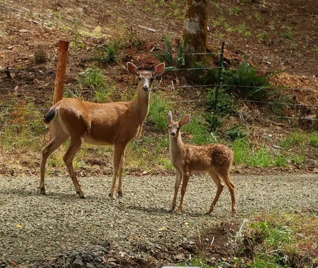
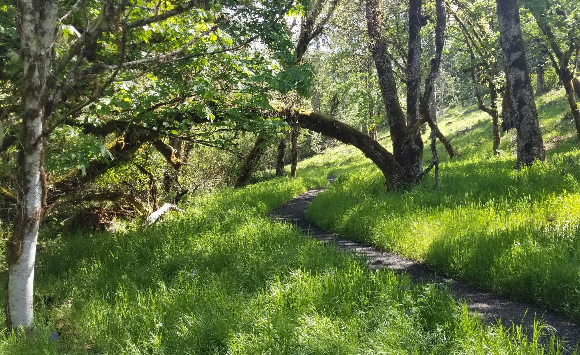
Crestmont Land Trust offers a network of user-maintained trails that wind upon themselves or connect with adjacent lands. As with many elements across the property, the trails seek to provide a diversity of experiences as they weave through meadows, woodlands, and riparian areas.
The foundation of the trail system is a series of historical logging and early access spurs. The next layer of paths crisscrosses the initial network with utility access trails that were designed and implemented with a vision for later recreation. Subsequent additions opened access to unique views, experiences, and opportunities for connections.
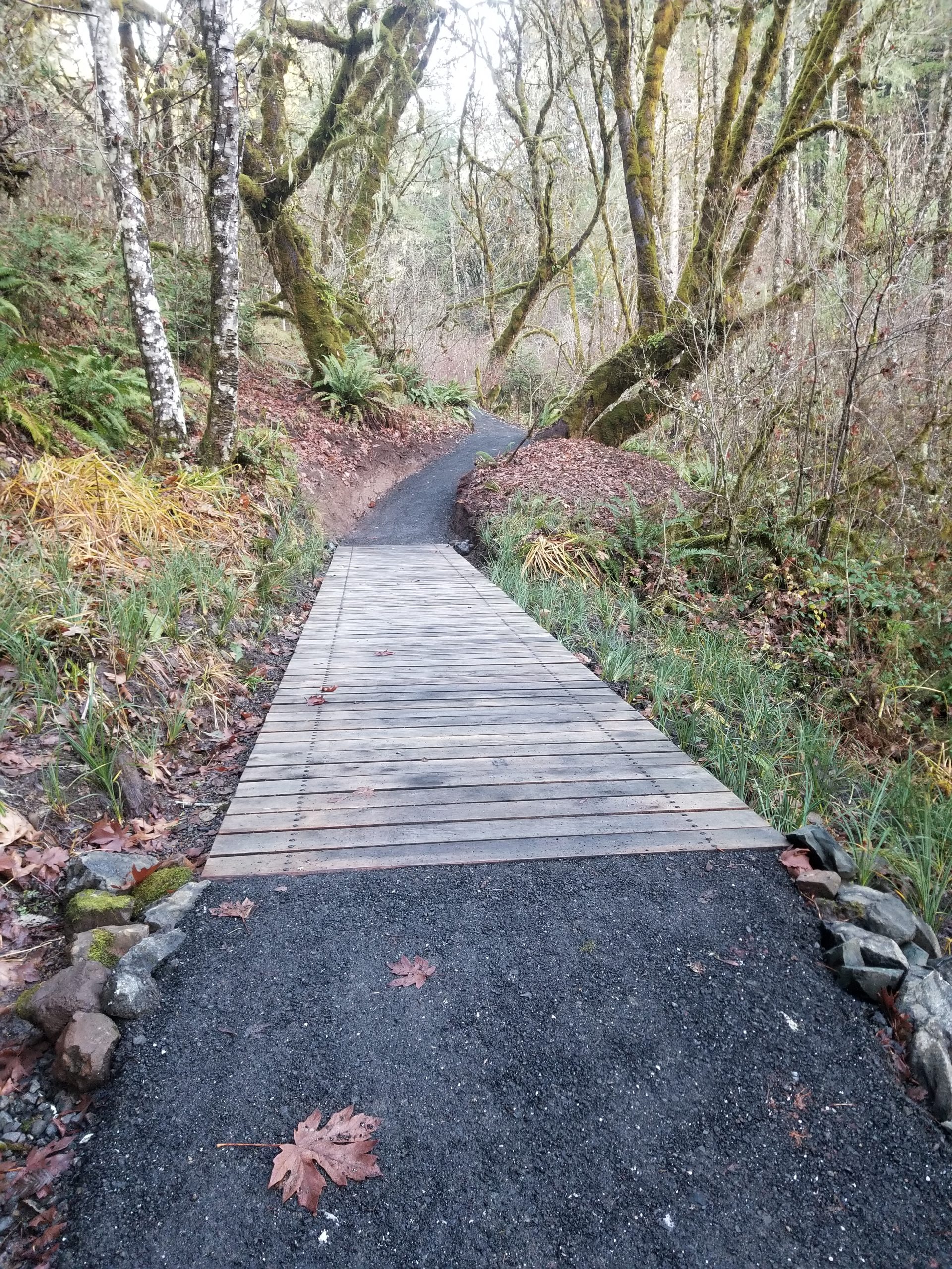
Crestmont Land Trust hosts almost five miles of paths across improved trails and roads that offer viewsheds in all directions. The all-weather surface is the result of a meticulous process of designing, building, preparing, and finishing each trail to carry visitors across the landscape infused with remarkable surroundings.
Please use the contact page to share with us your experiences, suggestions, comments, or connections that emanate from CLT’s trails. We’d love to hear from you…